
Projects • 6 mars 2026
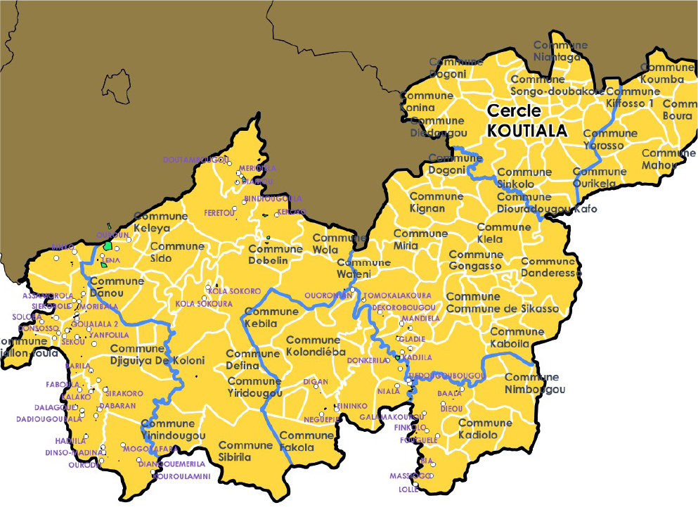
New mapping mission in West Africa
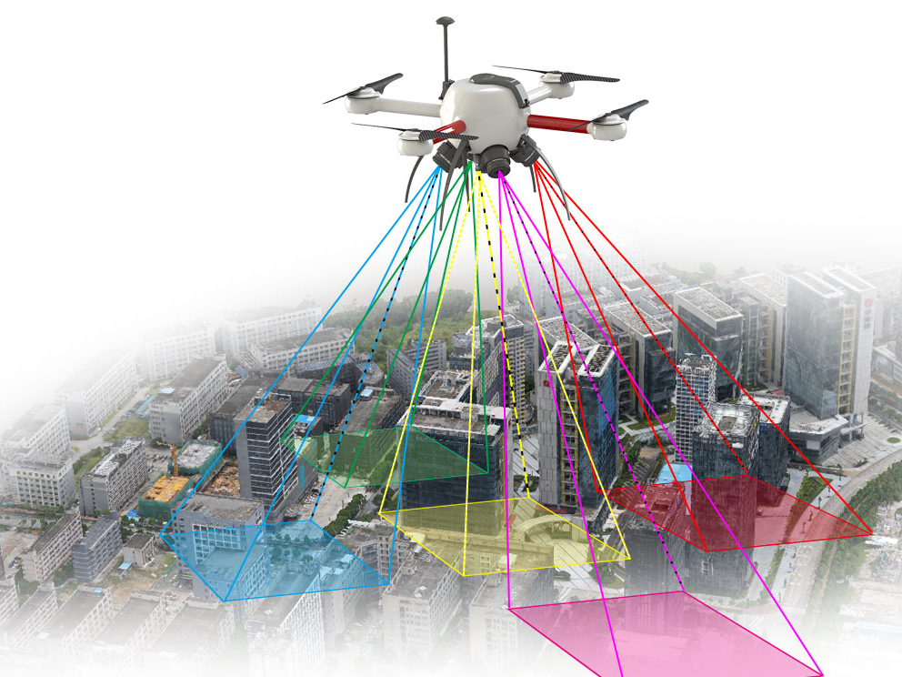
MODELIS TECH is starting a new mapping mission to support knowledge and management of territories.
The work will combine acquisition, quality control and data structuring to deliver reliable and lasting reference datasets.
The results will support local teams in planning and monitoring their actions.