

 01
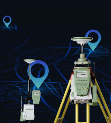
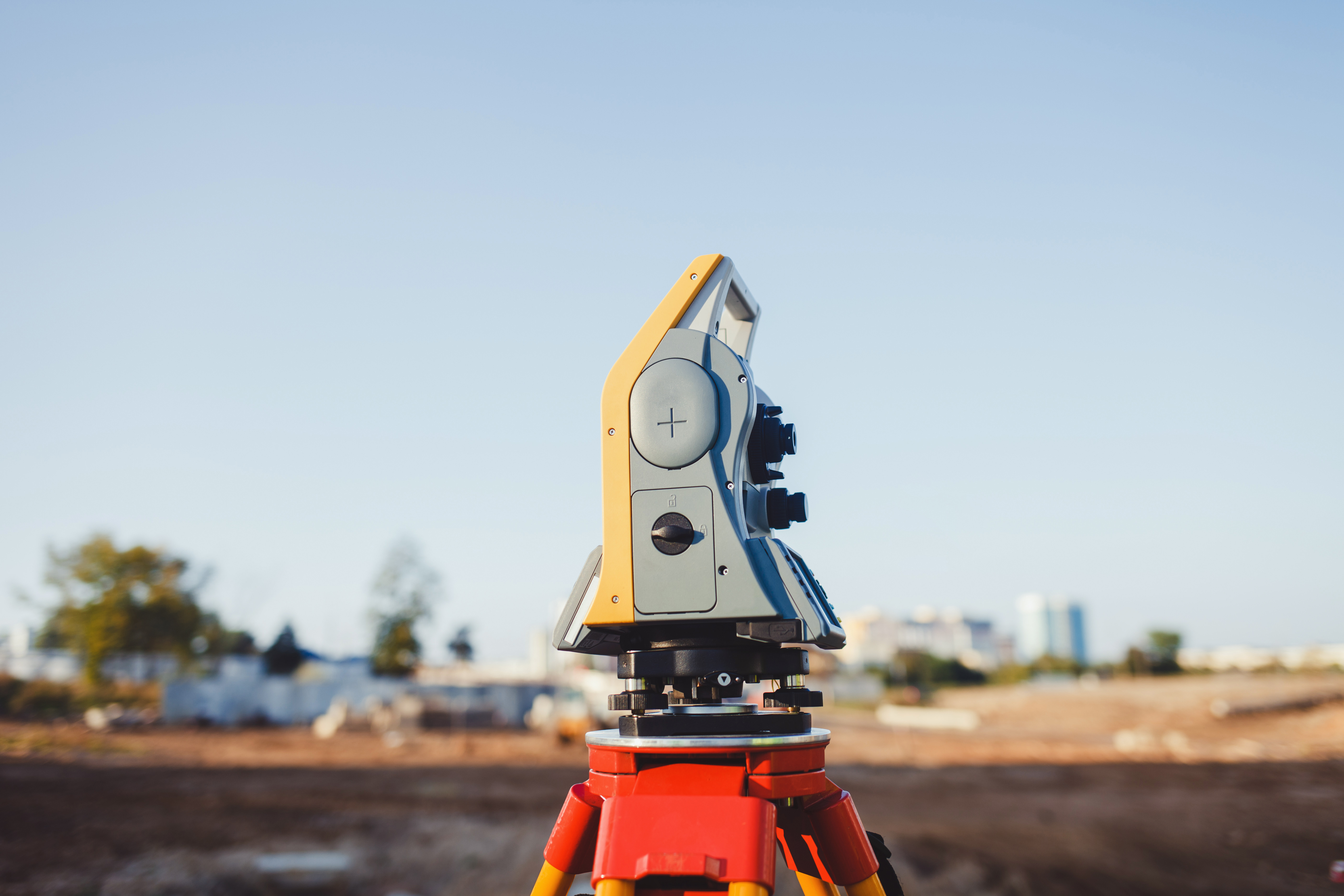
01Collect
Field data, measurement equipment, drones and precision surveys.
The value delivered
Reliable data to inform your decisions.
MODELIS GROUP capabilities
From field data to space technologies, we combine precision, engineering and vision to support projects that matter.
An integrated value chain
For more than 10 years, MODELIS GROUP has supported public and private stakeholders in planning, engineering and geospatial transformation projects. Our expertise spans the full value chain, from collecting field data to using and sharing it.
Our fields of intervention
01Field data, measurement equipment, drones and precision surveys.
The value delivered
Reliable data to inform your decisions.
 02
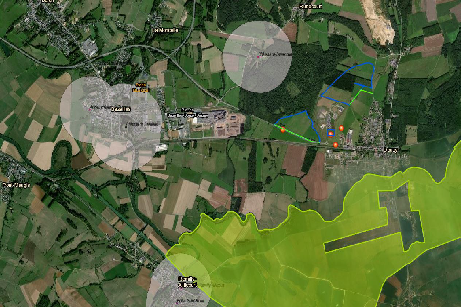
02Spatial analysis, data integration and business GIS solutions.
The value delivered
Spatial information ready to be put to work.
 03
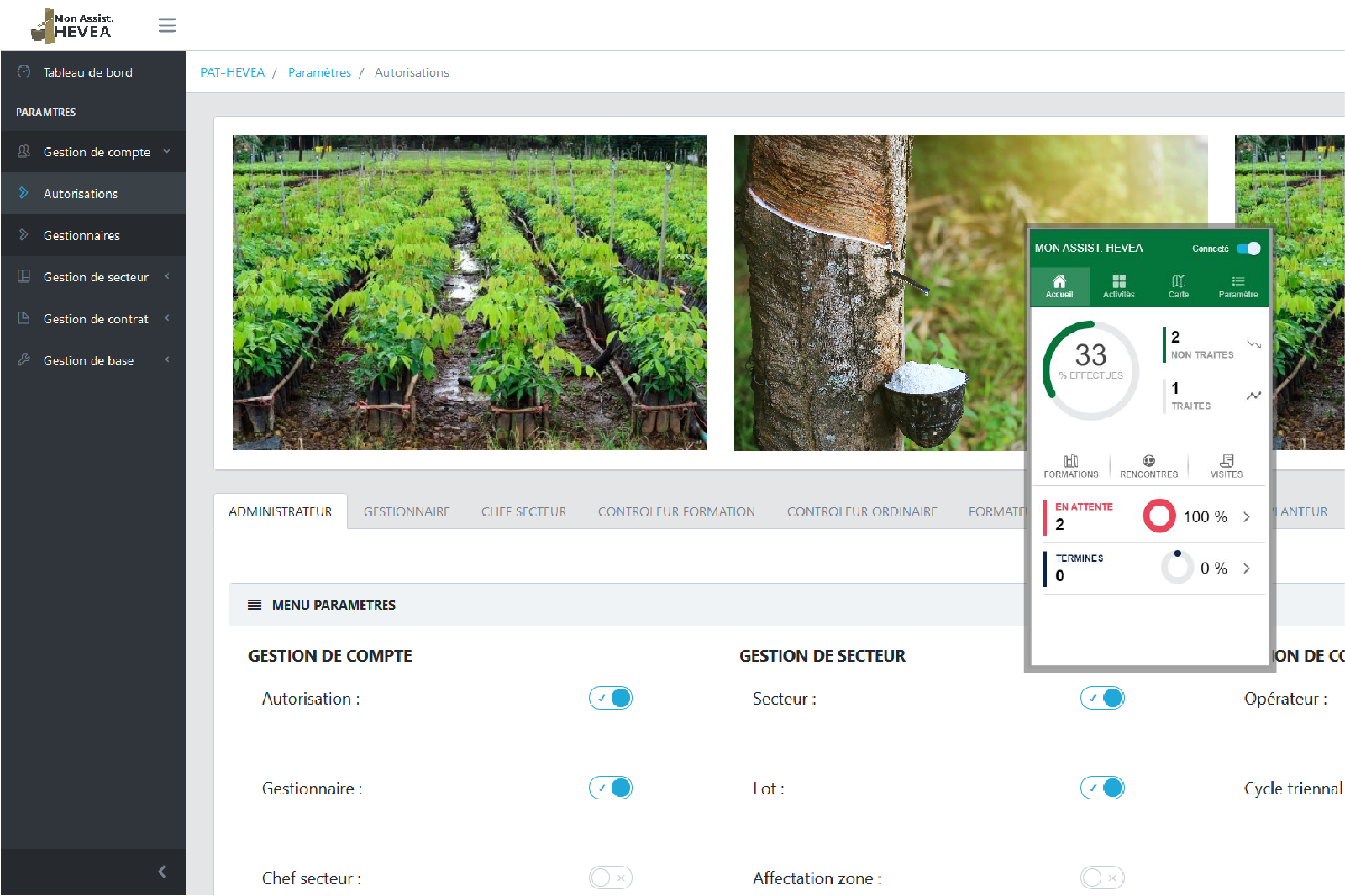
03Mapping, web and mobile applications, training.
The value delivered
More accessible uses for your teams.
 04
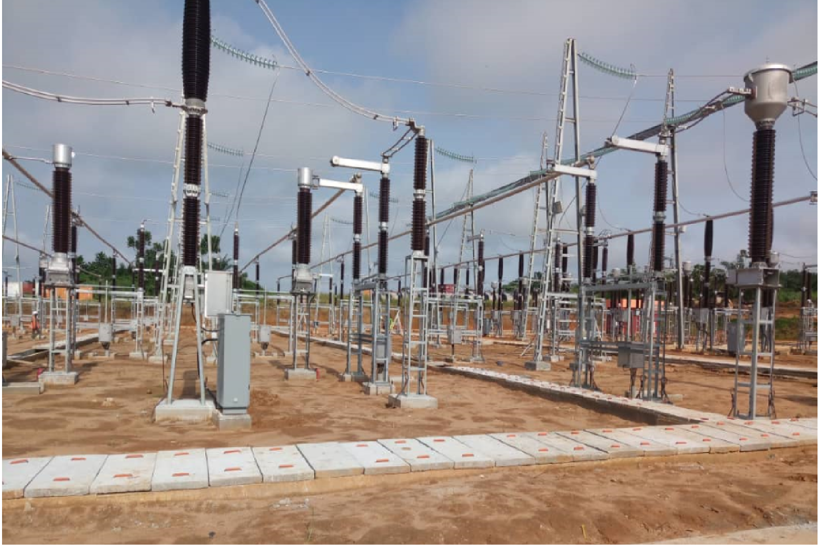
04Civil engineering, infrastructure, electrical substations and buildings.
The value delivered
Infrastructure designed to last.
 05
05Space technologies, Earth observation and the MASS ecosystem.
The value delivered
A broader understanding of territories and their evolution.
Let’s discuss your project
Let’s discuss your planning, data and infrastructure challenges.